
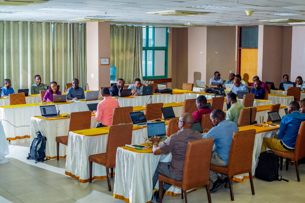
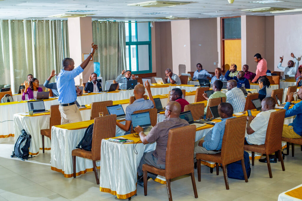
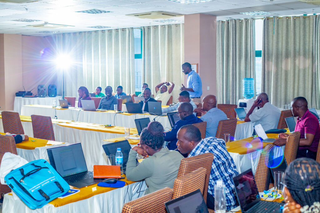
On March 10 and 11, Resilience Academy conducted a training session for government officials, focusing on the challenges of accessing and utilizing up-to-date geospatial data for climate risk decision-making. The participants, representing government offices from Ilemela and Nyamagana in Mwanza, often face difficulties in using fragmented data for decision-making.
Issues such as inconsistent spatial information, outdated records that fail to represent the current situation, manual errors during data collection, lack of standardized data-sharing protocols, and limited technical capacity for effectively utilizing spatial data continue to hinder effective decision-making for urban resilience. As a result, experts in urban planning, water management, environmental protection, and disaster response struggle to efficiently manage risks related to flooding, water scarcity, and other climate-related hazards.
The training aimed to introduce participants to the Climate Risk Database (CRD), an open-access digital platform that consolidates geospatial data relevant to climate risks. It provided an understanding of available spatial data, open-source tools, and technology for climate risk assessment and urban resilience planning. Experts learned how these tools reduce costs while improving accessibility and collaboration. They were trained on navigating the platform, uploading and managing datasets, conducting data quality checks, and visualizing geospatial information using QGIS software. The training also covered essential data curation and sharing practices, equipping participants with the skills to clean, structure, and standardize data for better decision-making and effective collaboration within their institutions and among stakeholders.


By the end of the training, participants were able to recognize the value of spatial data and open-source tools in addressing climate risks in Tanzanian cities.