By Dr. Zakaria Ngereja, Amedeus Kimaro, Masoud Hamad and Msilikale Msilanga
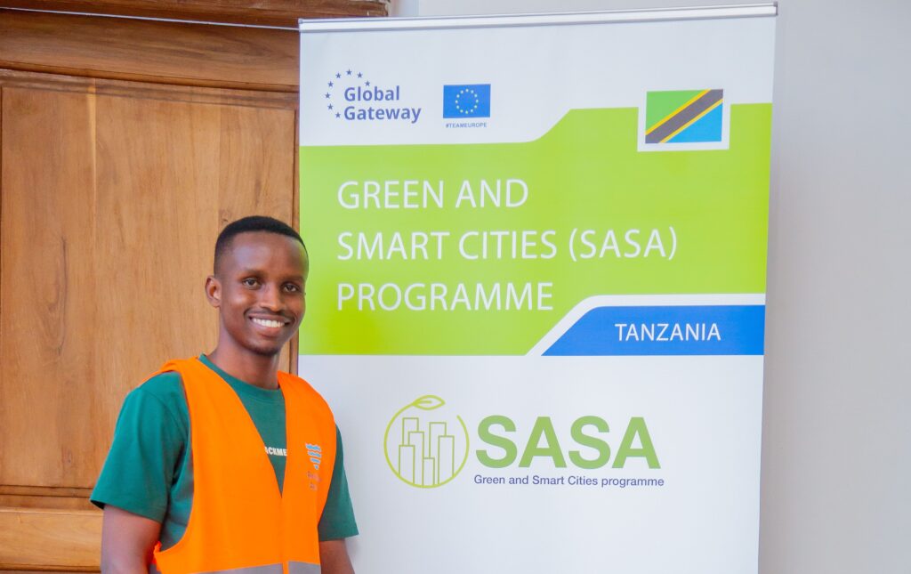
Spatial data management is paramount for decision-makers in urban resilience. In today’s rapidly changing climate, urban areas face mounting challenges from floods, droughts, and extreme weather events that necessitate informed planning and swift response capabilities. Effective spatial data management empowers city officials to visualize risks, analyze patterns, and make evidence-based decisions that safeguard communities and infrastructure. To address this critical need, Resilience Academy conducted a training program for SASA partners funded by the GIZ. This initiative aimed to enhance local capacity in geospatial technologies and climate risk assessment tools. Building technical expertise in spatial data management is fundamental to creating resilient cities that can adapt to climate uncertainties while ensuring sustainable urban development.
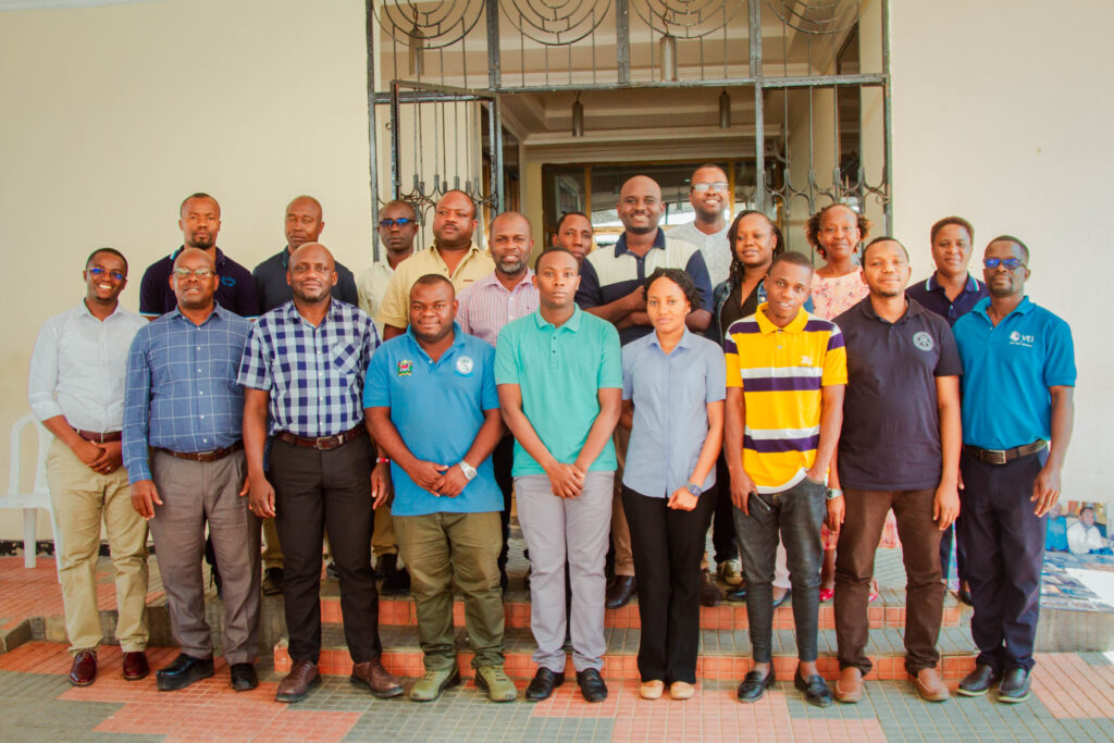
The training was facilitated by Resilience Academy as part of the ProWA-SASA-RA project. It brought together officials from Tanga City Council, Rufiji Basin Water Board, and Tanga Urban Water Authority. The participants included urban planners, environmental specialists, health experts, and disaster management professionals.
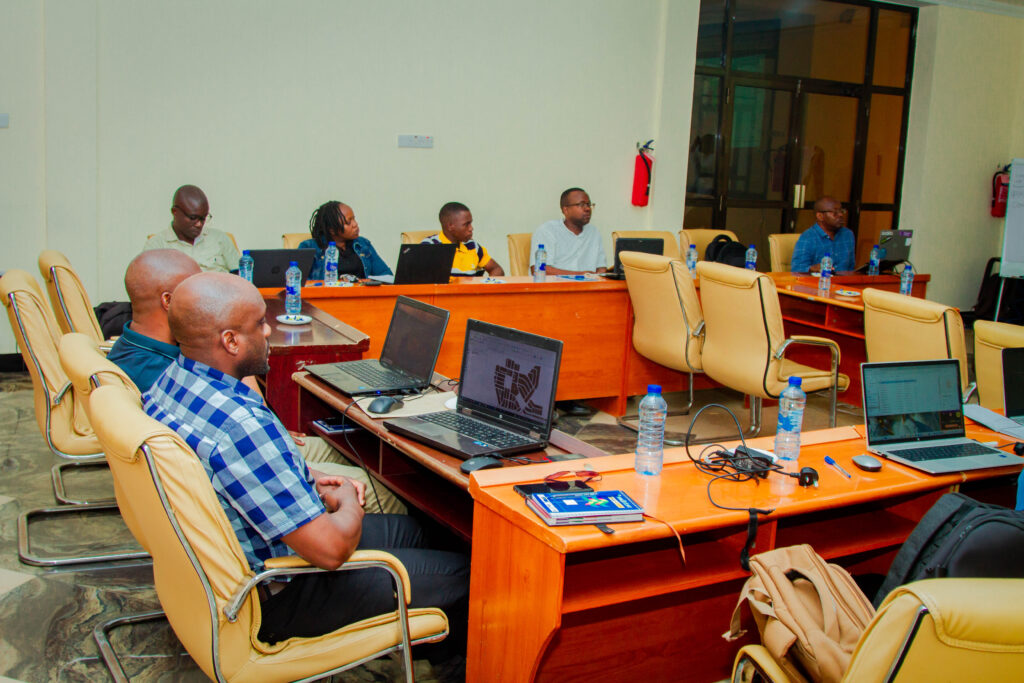
The training was structured into presentations and practical sessions. In the practical sessions, participants engaged in hands-on learning by doing and interacting with geospatial data and open-source tools such as QGIS. Ms. Queen Rugaimukamu, GIZ Advisor for the Tanga office, emphasized the importance of building resilient communities across Tanzania. Dr. Zakaria Ngereja, a Resilience Academy expert, delivered a presentation on geospatial data in urban resilience. Dr. Ngereja covered Spatial Data Infrastructure (SDI) and the Climate Risk Database (CRD), a GeoNode-based platform that serves as a centralized repository for urban resilience datasets.
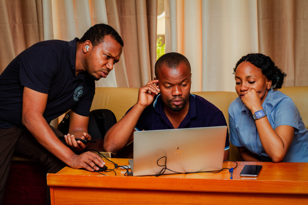
For the practical session, participants engaged in hands-on training led by Resilience Academy experts Massoud and Amedeus. This practical training covered various topics, including the introduction to QGIS, basic functions, and seamless integration with CRD using the GeoNode plugin. Participants used realistic scenarios, such as loading floodplain maps and infrastructure layers, to analyze potential climate risks. The practical training also introduced participants to specialized tools tailored to different professional needs. Urban planners learned network analysis tools, health experts explored interpolation tools for health data mapping, environmental specialists discovered land-use analysis capabilities, and disaster management professionals practiced hazard modeling applications. This cross-disciplinary approach fostered productive dialogue and enhanced learning outcomes across all sectors.

As Resilience Academy, we are delighted by this training, particularly the feedback we received from participants who expressed their satisfaction in being part of it. They particularly appreciated the hands-on training approach and its immediate practical application in their respective fields.
Our mission at Resilience Academy is to continue providing support for the use of open-source tools through training and to advocate for the use of Geospatial Datasets for decision-making to enhance the resilience of our cities. We will continue working closely with partners like GIZ and The World Bank to achieve this goal.