
Theme Builder Layout
Visual Builder Asset Prerender
Single Page for a Blog Post – Page
Other related news April 2026 Resilience Academy delivers four-day training on geospatial … By Msilikale Msilanga, Amedeus Kimaro and Massoud Hamad In March 2026, the Resilience Academy conducted… January 2026 85 students and alumni engaged in the 2025 Data Visualizatio… By Msilikale Msilanga Young people develop the most robust skills when they engage in hands-on… […]
Event Speakers for RA Event Listing
Single Page for RA Event – Page
Register Now STAY INFORMED Event overview Register Now STAY INFORMED Event overview Speakers No data was found Register Now Speakers No data was found Register Now
RA Event Category Archive
Event & Workshops
RA Events Past Event Listings
May 2026 RA Events Past Event Listings May 2026 RA Events Past Event Listings
Import CPT
function ra_events_import_csv_shortcode() { if (isset($_POST[‘submit’]) && !empty($_FILES[‘csv_file’][‘tmp_name’])) { // Required for media_sideload_image() to work outside the admin context. require_once(ABSPATH . ‘wp-admin/includes/media.php’); require_once(ABSPATH . ‘wp-admin/includes/file.php’); require_once(ABSPATH . ‘wp-admin/includes/image.php’); $csv_file = $_FILES[‘csv_file’][‘tmp_name’]; $handle = fopen($csv_file, ‘r’); $header = fgetcsv($handle, 5000, ‘,’); // skip header row $imported = 0; while (($col = fgetcsv($handle, 5000, ‘,’)) !== FALSE) { […]
Resilience Academy delivers four-day training on geospatial data collection, quality management, and sharing in the Climate Risk Database across two Tanzanian cities.
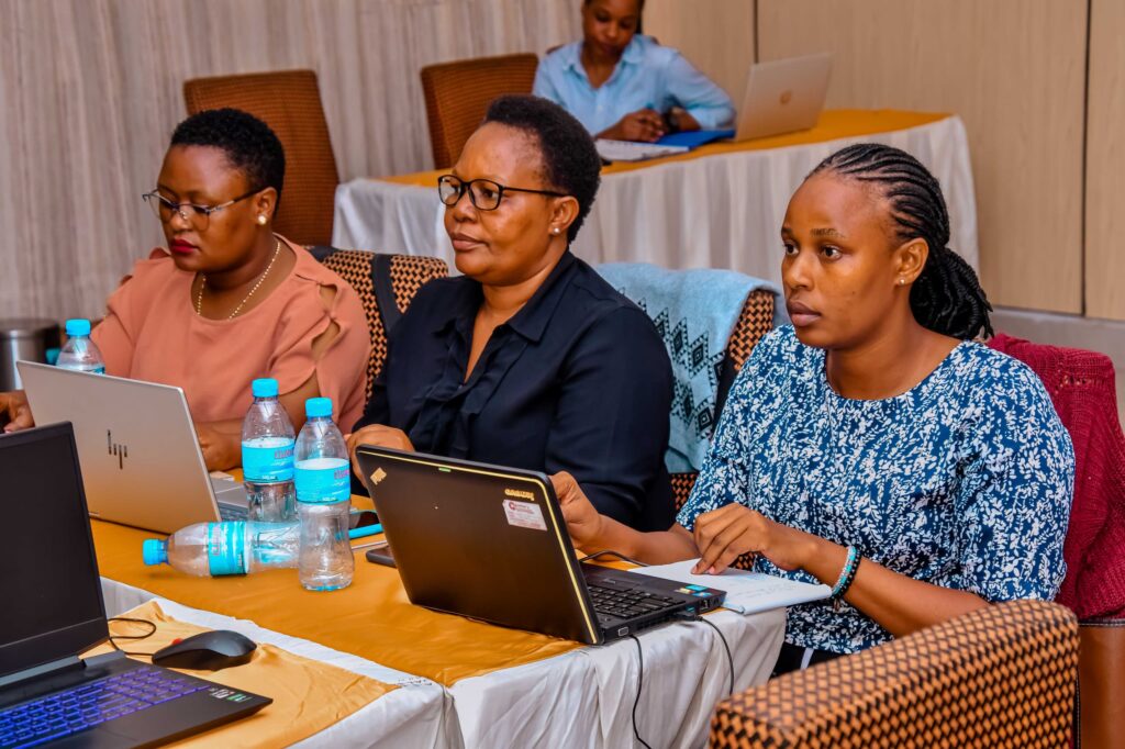
By Msilikale Msilanga, Amedeus Kimaro and Massoud Hamad In March 2026, the Resilience Academy conducted two rounds of a four-day training on Geospatial Data Collection, Data Quality Management and Sharing in the Climate Risk Database. The first round took place in Tanga from 9 to 12 March, and the second round followed in Mwanza from […]
85 students and alumni engaged in the 2025 Data Visualization Challenge to develop geovisualization solutions supporting urban water and climate resilience decision-making in Tanga and Mwanza.
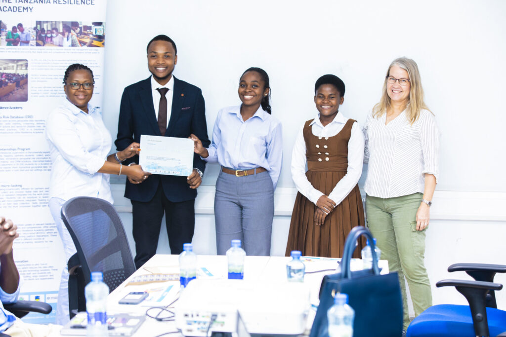
By Msilikale Msilanga Young people develop the most robust skills when they engage in hands-on work on real-world problems. Resilience Academy organized another visualization challenge for 2025 as part of ProWA-SASA project, collaborating with partners like GIZ and ProWAS SASA Partners from Mwanza and Tanga cities. This initiative provided university students and recent graduates with […]