
150 University Student have Attended Industrial Training
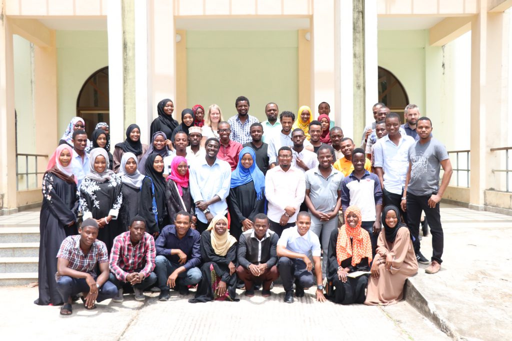
150 University studends have attended the industrial training coordinated by Resilience Academy team. These student are coming from the University partners of Resilience Academy which are University of Dar es Salaam, The State University of Zanzibar as well as the Ardhi University. 150 students are divided in distribution from each University 50 students each. The […]
A Handbook for Community Urban Risk Mapping

The activities undertaken by Ramani Huria over the last four years stood as a model for a Handbook for Community Urban Risk Mapping. By helping communities to map residential areas, roads, streams, floodplains, and other relevant features, projects like Dar Ramani Huria bring disaster prevention and response to areas that were previously off the map, […]
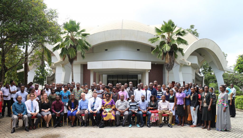
Welcome to the Resilience Academy
⅔ of African residents are in slum areas which are not planned. Since the cities are growing fast in Africa, slums increases to cities in Africa every year. On the other hand, education system in Africa is given based on theory and curriculums which follow imaginations instead of real and practical problems. Therefore, many people […]
Assessing the Geomorphological Characteristics of Soil in Dar es Salaam
Since its kick off in 2015, the Ramani Huria Project has collected numerous amount of data to help mitigating and planning for flooding in Dar es Salaam. Data collected include historical flood extents data, drainage data, infrastructure – buildings, roads, drains, etc.
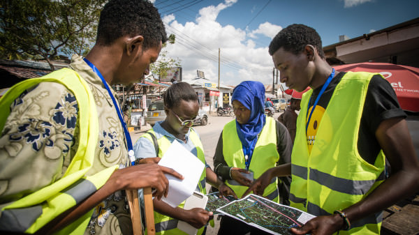
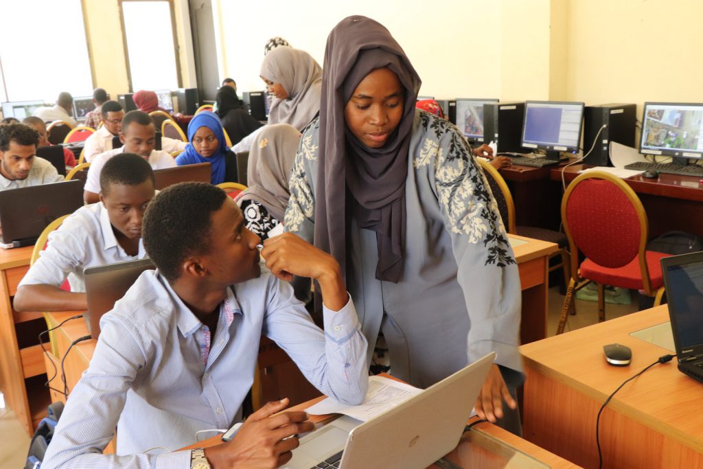
Students Complete Industrial Training – 228 Mapped Subwards and Action Maps for Disaster Management of Dar es Salaam
2018 has been a year for floods. In March, excessive rains in East Africa killed nearly 500 people. In July, Japan saw heavy downpours which led to widespread devastation with more than 200 deaths. In August, another 300 people lost their lives in Kerala, India during the worst monsoon in nearly a century. And just […]
Two Hundred Subwards of Dar es Salaam to be Mapped by University Students in the Next Six Weeks
[:en]On the 23rd of July 2018, Humanitarian Openstreetmap Team (HOT) began scaling up the World Bank funded Dar Ramani Huria project, training over 400 students who will map flood hazards in Dar es Salaam. This year Ramani Huria is working with students from the University of Dar es Salaam and Ardhi University, aiming to extend […]
Mapping for EBOLA in DRC Congo: Creating spatial data sets to help responders in the field
“These people have never been mapped, nobody has ever cared enough about them to even know where their house is. So these houses that you have been tracing today, is the first time that anyone has ever cared enough about those people in that distant part of the Congo enough to know where they live […]
First Impressions of Ramani Huria: the rise of the Community Mapper
[:en]Currently 70% of the infrastructure in Dar es Salaam is unplanned, meaning that structures are often built in flood areas and are not adequately built to cope with high waters. Often, even unplanned buildings that are relatively ‘safe’ from flooding have huge consequences on the surrounding area; improper planning has led to an increase of […]
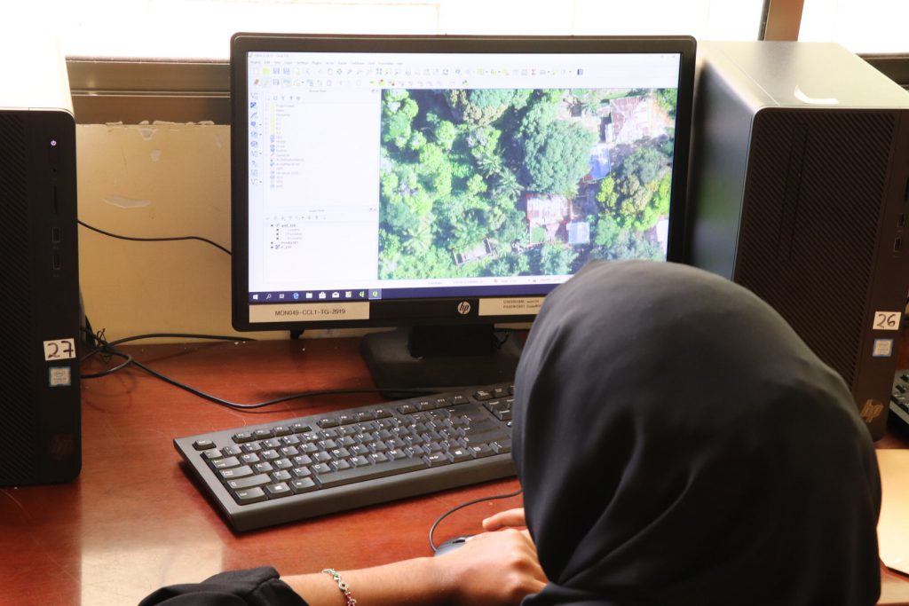
Using Drone Imagery to Generate Flood Inundation Models
Dar es Salaam is the largest city of Tanzania, it has an estimated 5.5 million residents and is also an economic centre for Tanzania and East Africa. Offset with this economic and social importance, Dar es Salaam has a tropical climate, experiencing two rainy seasons in a year (April – May and November – December). These seasons are usually accompanied with high rainfall, with high potential for flooding.
Installing a 3D Printing Weather Station in Tandale
Accurate and precise weather information is critical to preparing for extreme weather events, such as flooding. In Tanzania, the weather forecasts are primarily conducted by the Tanzanian Meteorological Agency (TMA) and are available through their website. But, the forecasts are at a regional level, the question is, how can we get an understanding of weather at a local level?